


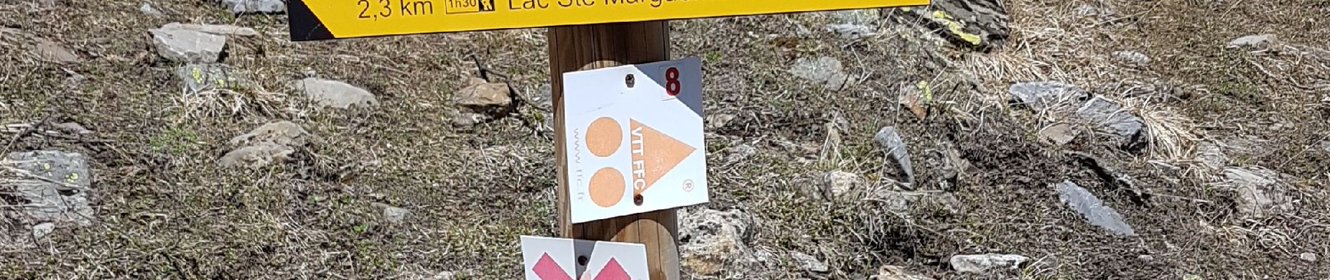
Bois Méan

Renefrt
User
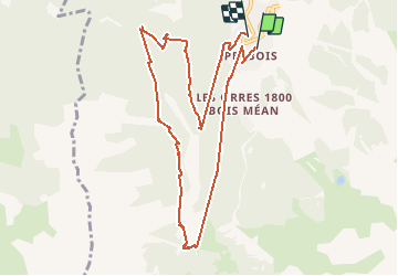

Length
10.8 km

Max alt
1910 m

Uphill gradient
466 m
Km-Effort
17.2 km

Min alt
1527 m

Downhill gradient
526 m
Boucle
Yes
Creation date :
2019-04-30 07:49:33.761
Updated on :
2020-08-09 18:01:58.13
7h01
Difficulty : Medium

FREE GPS app for hiking
 SityTrail
IGN / Geographical institutes
SityTrail Plus
The world is yours!
About
Trail Walking of 10.8 km to be discovered at Provence-Alpes-Côte d'Azur, Hautes-Alpes, Les Orres. This trail is proposed by Renefrt.
Photos


Positioning
Country:
France
Region :
Provence-Alpes-Côte d'Azur
Department/Province :
Hautes-Alpes
Municipality :
Les Orres
Location:
Unknown
Start:(Dec)
Start:(UTM)
305613 ; 4929293 (32T) N.
Comments